Forty Per Cent Country Park and Eight Walks That Prove It
Eight Hong Kong hiking trails worth your time, from the Dragon's Back ridge to remote Sai Kung beaches and Lantau peaks.
.jpg)
Forty Per Cent Country Park and Eight Walks That Prove it
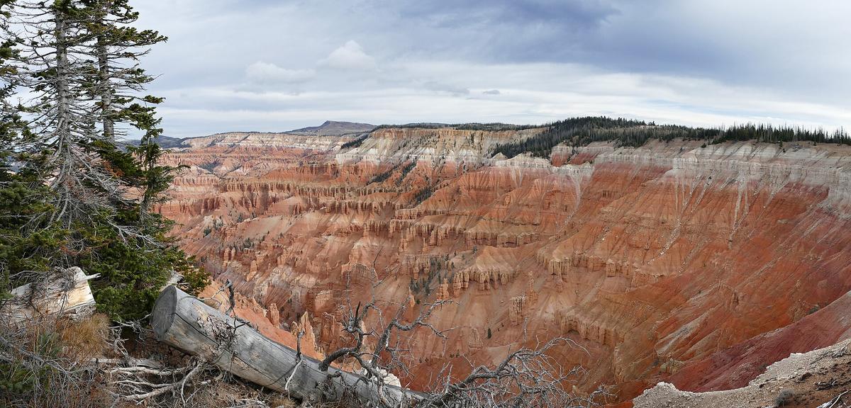
The wrong assumption most visitors make is that Hong Kong is only a city. It is a dense, vertical, exhausting city that gives you nothing gentle. But about forty per cent of its total land area is designated country park. Twenty four separate country parks covering roughly 44,300 hectares. Not parkland in the sense of a manicured lawn. Real hills, coast, forest, and ridge lines where the only buildings are stone huts abandoned since the 1930s.
Get from a Mong Kok night market to a trailhead in under forty minutes by MTR and bus. That is the trick of this city. The wild is not remote. It sits right behind the last block of housing estates. The eight trails below show the range, ranked by whether they earn a spot in a short trip. Some are famous and worth your time. One is famous and you should skip it. All of them are reachable without a car and safe for a solo traveller who carries water and a downloaded map.
The Eight Trails That Matter
Dragon's Back For The Sea Ridge
The most efficient return on effort in Hong Kong. 8.5 km, 2.5 to 3 hours, easy to moderate. Start at To Tei Wan on Shek O Road via bus 9 from Shau Kei Wan MTR Station Exit A2. Finish at Big Wave Bay and take the same bus back. The high point is Shek O Peak at 284 metres. What makes this different: the ridge runs right along the coast with the ocean on both sides in clear weather. You walk on the spine of the island. It is popular for a reason. Go on a weekday morning or skip it.
Victoria Peak To Pok Fu Lam For A Quick Central Escape
The trail for a half day between meetings. 4.5 km, 1.5 to 2 hours, easy to moderate. Start at The Peak Galleria, reachable by Peak Tram from Garden Road or bus 15 from Exchange Square. Finish at Pok Fu Lam Reservoir Road and catch bus 7, 37A, 40, 71, 90B or 973 back. The high point is Victoria Peak at 552 metres. What makes this different: it is the shortest proper walk from Central that still feels like countryside. The path is shaded in sections, the reservoir is pretty, and you are back in town for lunch. Skip the Peak Circle Walk. At 3.5 km and 1 to 1.5 hours from the same starting point, it is the easiest walk on the list but the views are the same as the paid viewing platform and the path is a paved tourist circuit. The Pok Fu Lam descent gives you actual dirt and fewer selfie sticks.
Lion Rock For The Kowloon Skyline
5 km from Wong Tai Sin to Kowloon Tsai, 3 to 4 hours, moderate to hard. Start at Wong Tai Sin MTR Station Exit E. Finish near Lok Fu MTR. The summit is 495 metres. The rock formation looks like a crouching lion and carries serious local meaning tied to the Hong Kong spirit of the 1970s and 80s. What makes this different: the view from the summit is the reverse of Victoria Peak. You look south over all of Kowloon and across the harbour to Hong Kong Island. The urban sprawl at your feet makes the contrast between city and green immediate. Do this on a clear day or it is just a hard walk with fog.
Tai Long Wan Via MacLehose Trail Stages 1 And 2 For Remote Beaches
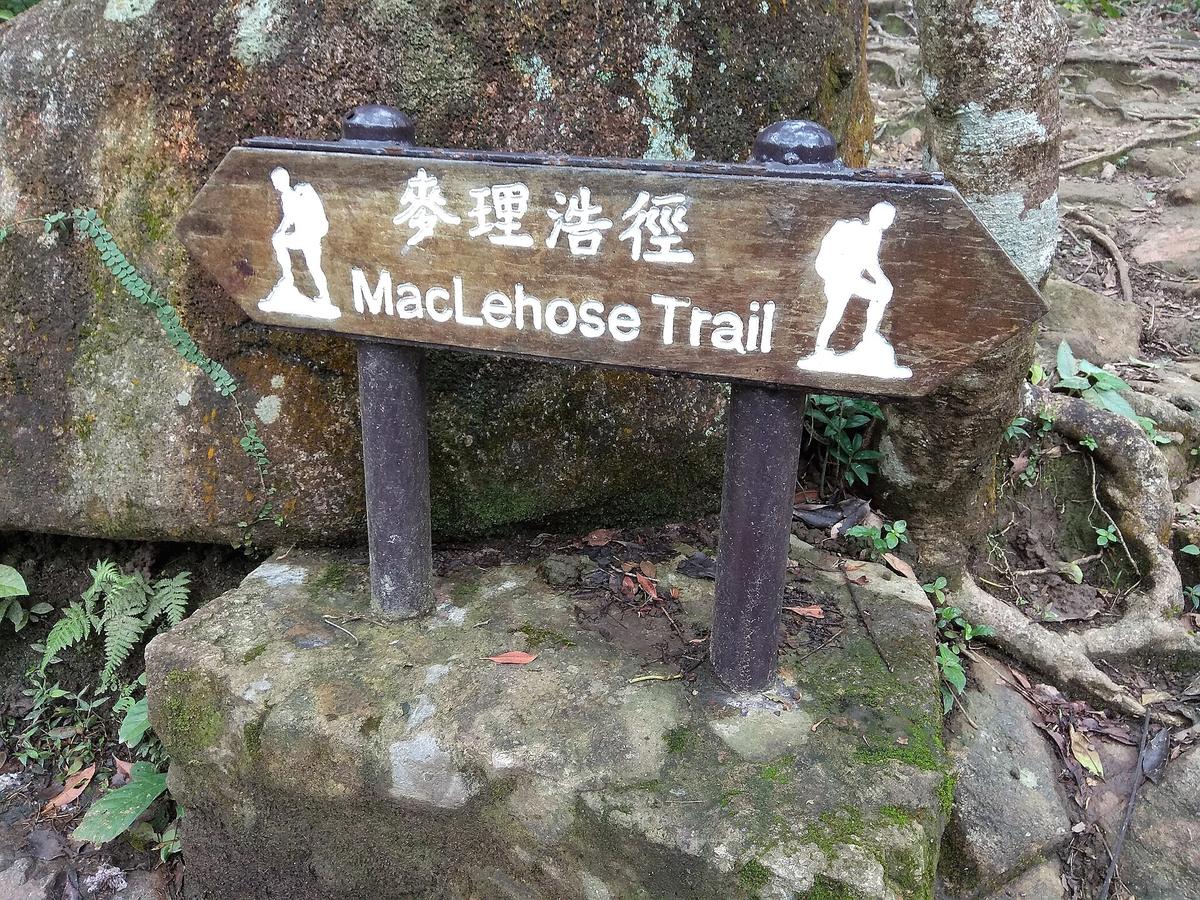
This is the serious day. Combined distance of MacLehose Trail Stage 1 at 10.6 km and Stage 2 at 13.5 km for a total of about 24.1 km. Allow 7 to 9 hours. Moderate to hard. Start at Pak Tam Chung on bus 94 from Sai Kung Town or bus 96R from Diamond Hill MTR on Sundays and public holidays. The destination is Tai Long Wan, accessed by a side trail from Stage 2 at Ham Tin Wan. What makes this different: three beaches that look like they belong in southern Thailand appear after hours of walking through country park. No road access means no crowds. Camp on the sand or take a kaito boat out from Ham Tin Wan to Sai Kung if you planned an exit. Do not do this in summer. Start by 07:00 even in winter.
Sunset Peak For Silvergrass Season
4 km one way from Pak Kung Au, 2 to 2.5 hours up, hard. Start at Pak Kung Au on bus 3M, 11 or 23 from Tung Chung MTR Station. The summit is 869 metres. Near the top you will find about nineteen small stone cabins built in the 1920s and 1930s as a missionary holiday camp. What makes this different: from late October through November the hillside is covered in silvergrass that catches the afternoon light. The stone huts are strange and photogenic and unlike anything else on Lantau. Do this as an afternoon walk timed to finish at sunset. Bring a headlamp for the descent. Finish at Pak Kung Au or Nam Shan for bus connections back.
Lantau Peak For The Sunrise Commitment
4.5 km one way from Pak Kung Au, 2 to 2.5 hours up, hard. Same bus access as Sunset Peak. The summit at 934 metres is the second highest in Hong Kong. What makes this different: this is the sunrise hike. Start in darkness from Pak Kung Au, climb a steep concrete path, and arrive above the cloud layer as the sun comes up over the South China Sea. The scale of the mountain and the emptiness of the surrounding landscape are disorienting given that the airport is twenty minutes away. Do not do this alone without a headlamp, spare battery, and a jacket. The wind at the top is cold even in summer. Finish at Ngong Ping and take bus 23 or the Ngong Ping 360 cable car down.
Tai Mo Shan For The Highest Point In The Territory
4 to 6 km depending on route, 2 to 3 hours, moderate. Start at Route Twisk bus stop via bus 51 from Tsuen Wan MTR Station West or at Lead Mine Pass. The summit is 957 metres. What makes this different: standing on the highest point in Hong Kong feels like a different climate. In winter the temperature can be ten degrees below the city. The summit is often shrouded in mist and the grass is moorland, not tropical. It is also the most accessible serious peak. Bus 51 drops you at the trailhead and picks you up on the way down. Finish back at Route Twisk or descend to Shing Mun.
What Makes Serious Hikes Work in Hong Kong
Use The Public Transport System
The MTR serves multiple trailheads directly. Stations connect to buses that cost under HKD 15 and run frequently until evening. But the same system that gets you there can strand you if you miss the last bus. Check bus schedules before you start, especially on Lantau and Sai Kung where service drops after dark.
Memorise The Distance Post System
The distance post system on long distance trails saves lives. Every 500 metres on the MacLehose Trail, Wilson Trail, Hong Kong Trail, and Lantau Trail you will find a numbered post. The code format is the trail prefix, the section number, and the post number. M001 for MacLehose, W035 for Wilson, H050 for Hong Kong Trail, L070 for Lantau. If you get injured or lost, call 999 and quote that code. The rescue services know exactly where you are.
Plan For The Heat
Heat and humidity from May to September are not mild. 28 to 33 degrees Celsius with 75 to 95 per cent humidity. The heat index on exposed trails is high to extreme. Most trails have no shade and no water. Carry more than seems sensible. Minimum one litre per hour in summer. Download offline maps before you start. Mobile signal is unreliable on many trails. Hiking Trail HK, AllTrails, Gaia GPS, and Maps.me all work offline. Download the area before you leave your hotel.
The Practical Sequence for a Short Trip
Fit A Hike Into Four Days
With only four days, the minimum recommended stay for Hong Kong, fit one proper hike without scrambling your schedule. Pick Dragon's Back for a half day or Tai Mo Shan for a morning. Do not try to combine a hike with Lantau sightseeing on the same day. The bus connections from Tung Chung to Ngong Ping and Pak Kung Au are not frequent enough to let you do the Big Buddha and a ridge walk in one loop.
Choose Your Season
October to early December is the window. Clear skies, low humidity, temperatures around 20 to 28 degrees Celsius. Late March to April works but fog is common. August is a mistake. Typhoon season peaks July to September. If a Tropical Cyclone Warning Signal Number 8 or above is raised or a Black Rainstorm Warning is issued, country park trails and facilities may close. Do not go out. The rain in the hills creates flash flooding on the concrete paths and landslips are real.
Skip The Peak Circle Walk
The Peak Circle Walk is the easiest and most famous walk in Hong Kong and you should skip it. 3.5 km of paved path around a shopping mall with the same view you already saw from the tram. Spend the early morning on the Victoria Peak to Pok Fu Lam descent instead. That gives you soil, a reservoir, and the sense of leaving the city behind rather than walking around its edge.

| Trail | Distance | Time | Difficulty | Best For |
|---|---|---|---|---|
| Dragon's Back | 8.5 km | 2.5-3 hrs | Easy to Moderate | Sea ridge, half day, first time |
| Victoria Peak to Pok Fu Lam | 4.5 km | 1.5-2 hrs | Easy to Moderate | Quick escape from Central |
| Lion Rock | 5 km | 3-4 hrs | Moderate to Hard | Kowloon skyline, local spirit |
| Tai Long Wan (MacLehose Stages 1 & 2) | 24.1 km | 7-9 hrs | Moderate to Hard | Remote beaches, full day |
| Sunset Peak | 4 km one way | 2-2.5 hrs up | Hard | Silvergrass season, stone huts |
| Lantau Peak | 4.5 km one way | 2-2.5 hrs up | Hard | Sunrise above the clouds |
| Tai Mo Shan | 4-6 km | 2-3 hrs | Moderate | Highest point in Hong Kong |
| Peak Circle Walk | 3.5 km | 1-1.5 hrs | Easiest | Skip it, do the Pok Fu Lam descent instead |
One Move Before You Go
Download the Hiking Trail HK app or Maps.me with the area you plan to walk saved offline. Mobile signal drops on the back side of Lantau and in the valleys of Sai Kung. The trail markers are reliable but the distance posts are your safety net. Find the post code at the start of your walk and note it. If something goes wrong, dial 999 and read that code. That is the single most practical thing you can do before stepping onto the trail.
Read next
-
 Hong Kong eSIM and Data Plans Before You Land
Hong Kong has no internet firewall. A cheap eSIM or tourist SIM from the airport gives you fast data for Google Maps and WhatsApp from the moment you land.
Hong Kong eSIM and Data Plans Before You Land
Hong Kong has no internet firewall. A cheap eSIM or tourist SIM from the airport gives you fast data for Google Maps and WhatsApp from the moment you land.
-
 Hong Kong Hotels by Price Band and Property Type
Hong Kong hotel rooms are small, but the difference between a luxury harbour-view tower and a Mong Kok budget room is enormous.
Hong Kong Hotels by Price Band and Property Type
Hong Kong hotel rooms are small, but the difference between a luxury harbour-view tower and a Mong Kok budget room is enormous.
-
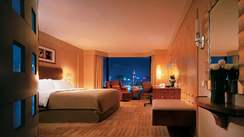 Where to Stay in Hong Kong Island or Kowloon for a First Visit
Hong Kong Island puts you in the financial and dining core, while Kowloon gives you harbour views and street life. The street you pick matters more than the district.
Where to Stay in Hong Kong Island or Kowloon for a First Visit
Hong Kong Island puts you in the financial and dining core, while Kowloon gives you harbour views and street life. The street you pick matters more than the district.
-
 How to Find Cheap Flights to Hong Kong International Airport
Hong Kong has one airport, a lot of airline competition, and a fast train into the city. The routing tricks are in the booking, not the arrival.
How to Find Cheap Flights to Hong Kong International Airport
Hong Kong has one airport, a lot of airline competition, and a fast train into the city. The routing tricks are in the booking, not the arrival.
-
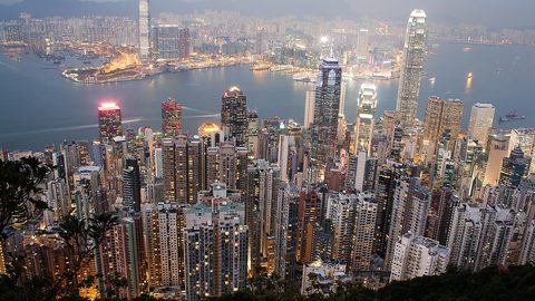 Things to Do in Hong Kong Ranked by What Is Worth Your Time
Victoria Peak, the Star Ferry, and a serious hike earn their fame. Some other Hong Kong sights do not.
Things to Do in Hong Kong Ranked by What Is Worth Your Time
Victoria Peak, the Star Ferry, and a serious hike earn their fame. Some other Hong Kong sights do not.
-
 Best Time to Visit Hong Kong for Clear Skies and Low Humidity
October to December offers the best balance of clear skies and low humidity, but every other season trades weather for lower prices or festivals.
Best Time to Visit Hong Kong for Clear Skies and Low Humidity
October to December offers the best balance of clear skies and low humidity, but every other season trades weather for lower prices or festivals.
-
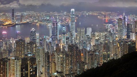 Victoria Peak
The view from Victoria Peak is the point; the tram queue is the problem, and there are four other ways up.
Victoria Peak
The view from Victoria Peak is the point; the tram queue is the problem, and there are four other ways up.
-
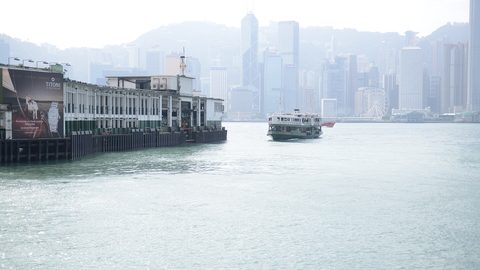 Star Ferry
The Star Ferry costs HK$5, takes 10 minutes, and the upper deck heading from Tsim Sha Tsui to Central gives the best skyline view.
Star Ferry
The Star Ferry costs HK$5, takes 10 minutes, and the upper deck heading from Tsim Sha Tsui to Central gives the best skyline view.
-
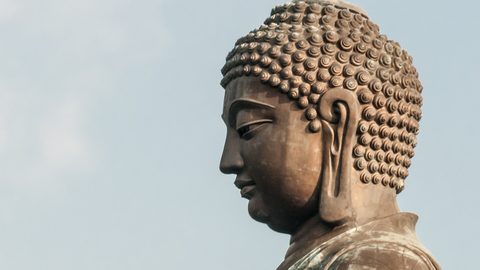 Big Buddha and Ngong Ping
The Big Buddha is 268 steps up, the cable car takes 25 minutes, and the village at the top is mostly a shopping mall.
Big Buddha and Ngong Ping
The Big Buddha is 268 steps up, the cable car takes 25 minutes, and the village at the top is mostly a shopping mall.