Sai Kung, New Territories: A Working Harbour and the Trails Behind It
Sai Kung is a fishing town with a seafood street in front and the best coastline in Hong Kong behind it.
- Flag
-
- ISO code
- HK
- Population
- 140,000
- Currency
- HKD
- Timezone
- Asia/Hong_Kong
Sai Kung, New Territories: a Working Harbour and the Trails Behind it
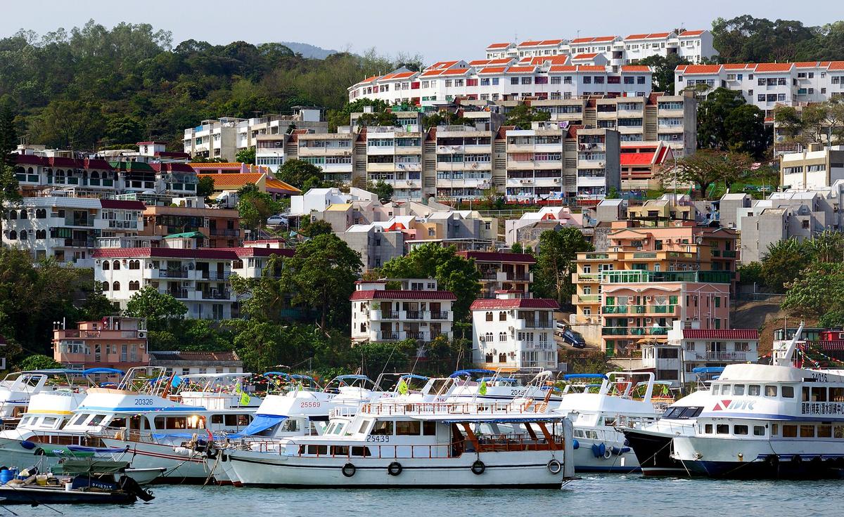
The common assumption is that Sai Kung is a tourist trap, a single street of overpriced seafood restaurants where you pay by the catty and leave feeling lighter in the wallet. That is half true. The seafood promenade along Sai Kung Hoi Pong Street and Man Nin Street is exactly that: tanks of live catch, touts calling out to passersby, and tables packed with diners cracking crab claws. It is also the staging ground for something else entirely. The same people eating typhoon shelter crab at noon are the ones who, by 2pm, have taken a kaito ferry to Sharp Island or flagged down a green taxi toward the MacLehose Trail. Sai Kung is not the destination. It is the supply stop, the last place to buy water and sunblock before the city disappears behind you.
Arrive in Sai Kung by 10am on a weekday and you will see the split. The promenade is quiet. A few sampan vendors sell live fish direct from their boats. The queue at the pier for the kaito to Yim Tin Tsai is short. By 11am on a Saturday that same queue stretches thirty people deep, and the green taxis waiting at the Sai Kung Public Pier terminus for a fare to the High Island East Dam are gone. The difference determines whether you get a table at a seafood restaurant without waiting or spend your afternoon eating standing up.
This guide is for combining a seafood lunch in Sai Kung town with access to Hong Kong's best coastal hikes and island beaches in a single day. It is not complicated, but the order matters, and the timing matters more.
.jpg)
Getting to Sai Kung Town from Central
There is no MTR station in Sai Kung. That fact filters out a lot of visitors before they even start. From Central, the fastest public route is to take the MTR to Diamond Hill Station on the Kwun Tong Line or Tuen Ma Line, then board KMB bus 92 or green minibus 1A. Journey time is 60 to 75 minutes. Alternatively, take the Tseung Kwan O Line to Hang Hau Station and catch green minibus 101M, which shaves off a few minutes but drops you in the same place: the Sai Kung minibus terminus, a two minute walk from the waterfront.
By car in light traffic the trip takes 40 to 50 minutes. On a Saturday morning, budget for 90. The road winds through tunnels and past suburban housing blocks, and the closer you get to Sai Kung, the more the landscape opens. You will feel the density of Central loosen.
One detail that catches people out: the taxi colour. Red urban taxis are permitted on certain routes to Sai Kung but will not ply for hire within the town. Green New Territories taxis serve the area. If you are taking a taxi from the East Dam back to town after a hike, you need a green taxi, and they are scarce at the East Dam on weekdays. On Sundays and public holidays, green minibus 9A runs from Pak Tam Chung to the East Dam, solving the return problem.
Where the Seafood Works and Where it Does Not
Sai Kung Hoi Pong Street is the seafood spine. Every restaurant along it operates the same way: you select your fish, prawn, or crab from the live tanks outside, they weigh it, and they cook it. The price quoted is per catty, one catty being roughly 600 grams, but the display weight is the live weight. The final bill includes the whole animal. A fish quoted at a per-catty price that weighs three catty costs you more than you expected unless you confirm the weight before they scoop it out.
The better move is to buy from the sampan vendors tied up along the promenade. Women on small wooden boats sell live seafood directly to pedestrians on the quay. You pay them cash, then take your bagged catch to one of the restaurants on Hoi Pong Street that advertises stir-fry service. The restaurant charges a cooking fee, in the band of HK$80 to HK$120 per dish depending on the restaurant, and you eat what you bought at sampan prices. This is how locals do it. The mark-up on restaurant-tank seafood is the tourist tax, and it is steep.
Walk behind the main street, onto Fuk Man Road and See Cheung Street, and the scene changes. These are the old town lanes, and here you find noodle shops and dai pai dongs that do not bother with seafood tanks. A bowl of wonton noodle soup or claypot rice costs a third of the promenade price. Sai Kung is bad at cheap street food in the way Mong Kok is not, but these side streets are the exception.
What To Order
Typhoon shelter crab is the signature dish. Garlic, chilli, and crispy fried breading on a whole crab. It is messy, loud, and worth it. Steamed shrimp with garlic is the safer choice for anyone who does not want to crack shells. For the indecisive, the set menus at the bigger restaurants offer a path through: three dishes for two people, usually a fish, a prawn, and a vegetable. The price depends on the fish size, so confirm the total before you order. No restaurant will argue with you if you ask, and the ones that avoid the question are the ones to skip.

The Hikes and the Islands: Two Routes from the Same Pier
You have two options after lunch, and you need to pick one unless you have a full day and strong legs. Option one is the kaito ferry from Sai Kung New Public Pier, Pier 2, to Sharp Island and Yim Tin Tsai. The ferry takes 15 to 20 minutes, costs in the band of HK$30 to HK$40 round trip depending on the operator and season, and runs when enough passengers show up. On weekdays, the first departure is around 9am and the last return from Sharp Island is around 5pm, but that schedule loosens on weekends.
Sharp Island has two draws. The first is the Kiu Tau tombolo, a sandbar that connects the main island to the islet Kiu Tau at low tide. You can walk across it for about two to three hours either side of low tide, then it submerges. The second is Hap Mun Bay on the south coast, a gazetted public beach with a shark net installed during the bathing season. Check the Leisure and Cultural Services Department website for the exact net installation dates before you go.
Yim Tin Tsai is the other stop. It is an abandoned Hakka village that has been restored as a cultural heritage site. St. Joseph's Chapel, built in 1890, won a UNESCO Asia-Pacific Heritage Award in 2005. The island is quiet in a way that feels unnatural after Hong Kong. You can walk the entire village in 30 minutes.
The Serious Route: MacLehose Trail Sections 1 And 2
The second option is the reason experienced hikers come to Sai Kung. The MacLehose Trail runs 100 kilometres across the New Territories. Sections 1 and 2 cover the Sai Kung Peninsula and the coastline of the Hong Kong UNESCO Global Geopark, designated in 2011. Section 1 starts at Pak Tam Chung and runs 10.6 kilometres to Long Ke, taking about three hours. It follows the High Island Reservoir and passes the hexagonal volcanic columns of the High Island Formation, a tuff rock formation with columns up to 30 metres tall and 1 to 3 metres in diameter. Section 2 picks up at Long Ke and runs 13.5 kilometres to Pak Tam Au, about five hours. This section descends into Tai Long Wan, a bay with four beaches: Sai Wan, Ham Tin Wan, Tai Wan, and Tung Wan.
Access to the High Island East Dam is restricted. Private vehicles need a permit. Green taxis from Sai Kung town are allowed. On Sundays and public holidays, green minibus 9A runs from Pak Tam Chung to the East Dam. If you arrive on a weekday without a car, you walk Section 1 from Pak Tam Chung, which is 9 kilometres and 2.5 to 3 hours to the dam itself. That is a half-day commitment before you even see the columns. The alternative is a kaito or private boat tour from Sai Kung pier that takes you directly to the sea arches and columns from the water. This is the efficient choice: one hour by boat, you see the geopark formations, and you are back in town for a late lunch.
Common Questions
Can I do both a hike and Sharp Island in one day from Sai Kung?
Only if you start by 8am, skip the seafood lunch, and eat packed food on the trail. Most people choose one. The hike takes 5 to 8 hours depending on your pace. The island trip plus seafood lunch takes 4 to 5 hours. Doing both means you are rushing both, and neither is worth rushing.
How do I get to Tai Long Wan without hiking?
Speedboat from Sai Kung pier. The journey is about 30 minutes. Price is negotiated with the operator but expect to pay in the band of HK$120 to HK$180 per person one way. The boats leave when full. This is the same route locals use to reach the beaches for a day trip without walking. Confirm the return time with the operator before you leave.
Is Sai Kung worth visiting on a Sunday?
Only if you are prepared for crowds and queues. The minibus queues at Diamond Hill stretch around the block by 10am. Restaurant wait times hit 45 minutes at peak. The kaito ferries fill up and the last departure from Sharp Island can leave earlier than posted if the operator decides. Go on a weekday or not at all.
What is the price-per-catty trap and how do I avoid it?
Restaurants quote a price per catty, roughly 600 grams. A fish quoted at a per-catty rate that weighs three catty costs three times that rate for the fish alone, before cooking fees. Confirm the total weight and the cooking charge before they prepare it. Skip restaurants that do not give a clear answer. Buy from sampan vendors instead and pay a cooking fee.
Can I use a red urban taxi in Sai Kung?
Red taxis are permitted on certain routes to Sai Kung but will not ply for hire within the town. Green New Territories taxis serve the area. If you need a taxi from the High Island East Dam back to town, you need a green taxi, and they are scarce on weekdays. On Sundays and public holidays, minibus 9A covers the route.
When is the best time of year for Sai Kung hiking?
October to early December. Temperatures between 20 and 28 degrees Celsius, low humidity, clear skies. Late March to April is the second window, but fog and rain are more common. August is heat, humidity, and typhoon risk. The trail is exposed with little shade. July and August are punishing.
Do I need to book the kaito ferry to Sharp Island in advance?
No. The ferries run on demand. You buy a ticket at the pier and wait for enough passengers. On weekends the wait is short. On weekdays it can be 20 to 30 minutes. The last return ferry from Sharp Island is usually around 5pm, but confirm with the operator when you arrive. Tsui Wah Ferry Service is the main operator.
Read next
-
 Hong Kong eSIM and Data Plans Before You Land
Hong Kong has no internet firewall. A cheap eSIM or tourist SIM from the airport gives you fast data for Google Maps and WhatsApp from the moment you land.
Hong Kong eSIM and Data Plans Before You Land
Hong Kong has no internet firewall. A cheap eSIM or tourist SIM from the airport gives you fast data for Google Maps and WhatsApp from the moment you land.
-
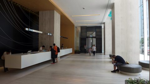 Hong Kong Hotels by Price Band and Property Type
Hong Kong hotel rooms are small, but the difference between a luxury harbour-view tower and a Mong Kok budget room is enormous.
Hong Kong Hotels by Price Band and Property Type
Hong Kong hotel rooms are small, but the difference between a luxury harbour-view tower and a Mong Kok budget room is enormous.
-
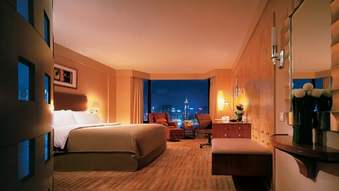 Where to Stay in Hong Kong Island or Kowloon for a First Visit
Hong Kong Island puts you in the financial and dining core, while Kowloon gives you harbour views and street life. The street you pick matters more than the district.
Where to Stay in Hong Kong Island or Kowloon for a First Visit
Hong Kong Island puts you in the financial and dining core, while Kowloon gives you harbour views and street life. The street you pick matters more than the district.
-
 How to Find Cheap Flights to Hong Kong International Airport
Hong Kong has one airport, a lot of airline competition, and a fast train into the city. The routing tricks are in the booking, not the arrival.
How to Find Cheap Flights to Hong Kong International Airport
Hong Kong has one airport, a lot of airline competition, and a fast train into the city. The routing tricks are in the booking, not the arrival.
-
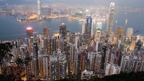 Things to Do in Hong Kong Ranked by What Is Worth Your Time
Victoria Peak, the Star Ferry, and a serious hike earn their fame. Some other Hong Kong sights do not.
Things to Do in Hong Kong Ranked by What Is Worth Your Time
Victoria Peak, the Star Ferry, and a serious hike earn their fame. Some other Hong Kong sights do not.
-
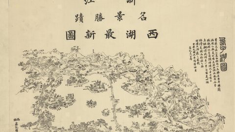 Best Time to Visit Hong Kong for Clear Skies and Low Humidity
October to December offers the best balance of clear skies and low humidity, but every other season trades weather for lower prices or festivals.
Best Time to Visit Hong Kong for Clear Skies and Low Humidity
October to December offers the best balance of clear skies and low humidity, but every other season trades weather for lower prices or festivals.
-
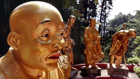 Sha Tin
 pairs a steep path to ten thousand golden Buddhas with a racecourse and the reality of a New Territories new town.
Sha Tin
Sha Tin pairs a steep path to ten thousand golden Buddhas with a racecourse and the reality of a New Territories new town.
-
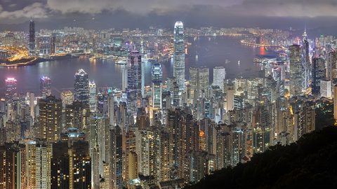 Victoria Peak
The view from Victoria Peak is the point; the tram queue is the problem, and there are four other ways up.
Victoria Peak
The view from Victoria Peak is the point; the tram queue is the problem, and there are four other ways up.
-
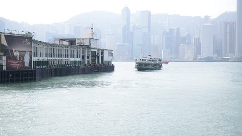 Star Ferry
The Star Ferry costs HK$5, takes 10 minutes, and the upper deck heading from Tsim Sha Tsui to Central gives the best skyline view.
Star Ferry
The Star Ferry costs HK$5, takes 10 minutes, and the upper deck heading from Tsim Sha Tsui to Central gives the best skyline view.